Antikythira is a small island with an area of 20 kms2, a maximum length of 10 kms and a maximum width of 3,5 kms. It is located 16 nautical miles south of Cape Capelas of Kythira island, and 17 nautical miles northwest of Cape Vouga in Chania, northwest Crete. Its coordinates are E 35ο 52' and N 23ο 18'.
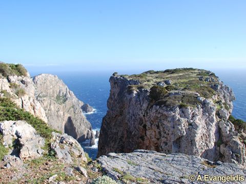
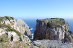
 It is predominantly a mountainous and dry island with two main mountain massifs, Troula in the northwest (212 m) and Plagara in the southwest (378 m). North of Antikythira are two smaller islands, Prasonisi (0.27 kms2, 129 m) and Lagouvardos (0.06 kms2, 42 m).
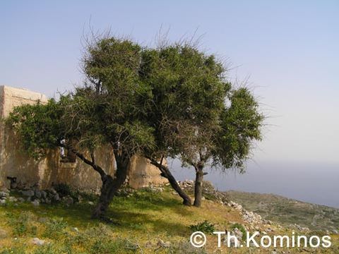
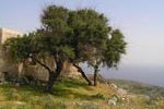 Antikythira's main features are the steep coasts and the fact that is one of the driest areas in Greece, with a total annual precipitation less than 200 mm. Vegetation is typically Mediterranean, consisting of phrygana and maquis. Scattered Junipers (J. phoenicea) are found all over the island, while in the western side of Plagara, a thicket of these trees still survives. In the center of the island, olive groves and cereal fields exist.
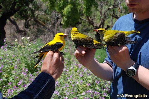
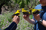
 Antikythira and the surrounding sea area with the islets is a Special Protection Area (GR 3000013), under the 79/409 EU Directive for Birds, and a Site of Community Interest (GR 3000008) under the 92/43 EU Directive for Habitats, comprising a very important part of the Natura 2000 Network.
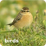
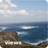
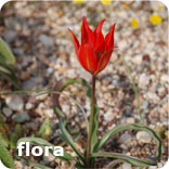
Photo galleries: